I took a chance that the weather forecast for sharp showers was pessimistic and was proved wrong. Almost the moment I got off the bus (the 'Poppit Rocket', for the first time), the black clouds welled up and spilled over. Coat on, fleece off. Sun out. Coat off. Rain again. Coat on, and so on until I'm nearly driven demented and contemplate not bothering with the coat, instead getting my T-shirt wet and allowing it to dry in situ. Perhaps better not: not sure my public is ready for this kind of revelation. After a bit, though, the rain got fed up with the game and sulked in a big black cloud over Newport, while I enjoyed sunshine walking towards it. With spectacular precise timing, the heavens opened as I arrived at Newport Yacht Club, so I could shelter there. Gotcha! However, I was humbled by the number of people on the path I met today who had walked on Monday in the solidly pouring rain. Being a native of hereabouts I only went outside once that day, to put rubbish in the green bin. The visitors are obviously made of sterner stuff (and / or have more Gore-tex to their names).
 Fishguard Fort was built in the late 18th Century to protect the town from pirates / buccaneers / privateers and, when the French threatened to invade in 1797 (see my previous blog), a cannon was fired. This put the French off so much they turned tail and went to find the alternative landing site at Carregwastad. The fort played no further part in repelling the invasion - it only had three gunners to man the battery.
 The coastline between Fishguard and Newport shows rather different patterns of erosion from other parts of the coast I've so far travelled along: the cliffs are battered and stripy as ever, but at the foot often lie large areas of almost flat rock. Sometimes there are slashes and indentations which look as if a lunatic has been at large with a carving knife. Many of the bays I passed are inaccessible except from the sea, but they weren't frequented by seals, presumably as there was not enough shelter. I only saw one seal all day, and that was in the lee of Pen Dinas.
 On a ledge on a vertical cliff of one of these bays I spotted a young seagull being encouraged to fly by its parent. The conversation was going like this: Parent Gull: Go on son, just flap your wings and jump. Young Gull: I can't (mewing). PG: Of course you can, close your eyes. YG: No, I can't, I'll fall (very squeaky). PG: Father, come here and tell Junior it's simple... I watched for a while, but Junior wouldn't do it, even with both adults screaming at him. A couple of times on these walks I've passed fields where there are a large number of adult and young gulls assembled and interpreted it as a flying school - lessons in how to lift a tuna sandwich and so on. The parent gulls appear to have very limited patience with their young, who in turn are a whining bunch.
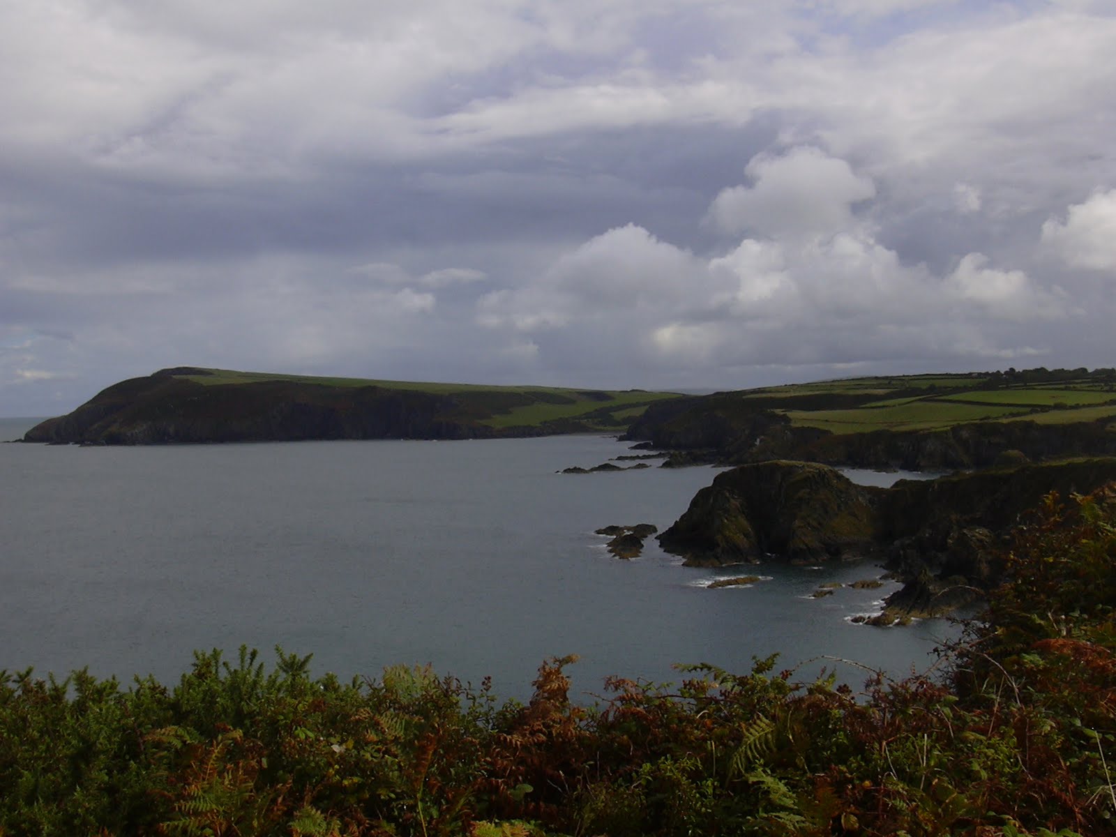 All morning I walked towards Dinas Island, which looks like a whale rising from the sea. It's not an island (yet) - it looks like one, but is still joined on to the mainland, just.
  The beach at Pwllgwaelod, some five miles walking from Fishguard, directly faces the port across the bay, and also lies at the foot of Pen Dinas, the 'whale's head' on Dinas Island. The small pub across the road from the beach used to be named The Sailors' Safety, as it kept a light on for boats to find safe harbour. But now it's called The Old Sailor - having lost any connotations of after hours drinking. After the steep descent to reach it, it was tempting to call in and dry my clothes out properly, but I needed to conquer Pen Dinas / Dinas Head, rearing its head behind it. I dutifully toiled up the 465 feet to the triangulation point and admired the magnificent views in all directions.
 On the descent from Pen Dinas, you pass Needle Rock (the second of this name within 5 miles of each other) and this is where I saw my lone seal today. The rock's name comes from the fact that it has a natural arch, but search as I did, I totally failed to see it. This picture also shows the rain cloud over Newport in the distance.
 At the other side of Dinas Island from Pwllgwaelod is the small village of Cwm-yr-Eglwys, where the beach directly faces Newport. The little church there was mostly washed away in 1859 on the night when the ship the Royal Charter sank, along with another 110 or so ships off the coastline of Wales. All that remains is the belfry wall and some of the graveyard - further damage was caused to this in a storm in 1979.
 And so on to Newport, passing some very eroded cliffs, and all the time keeping an eye on Carn Ingli, one of the Preseli Hills, which towers over the town.
 The tide was way, way out when I arrived at Newport Parrog (the main harbour), with boats lying every which way on their sides on the mud. The river Nyfer winds through the harbour, separating the Parrog from the beach called Newport Sands.
No comments:
Post a Comment